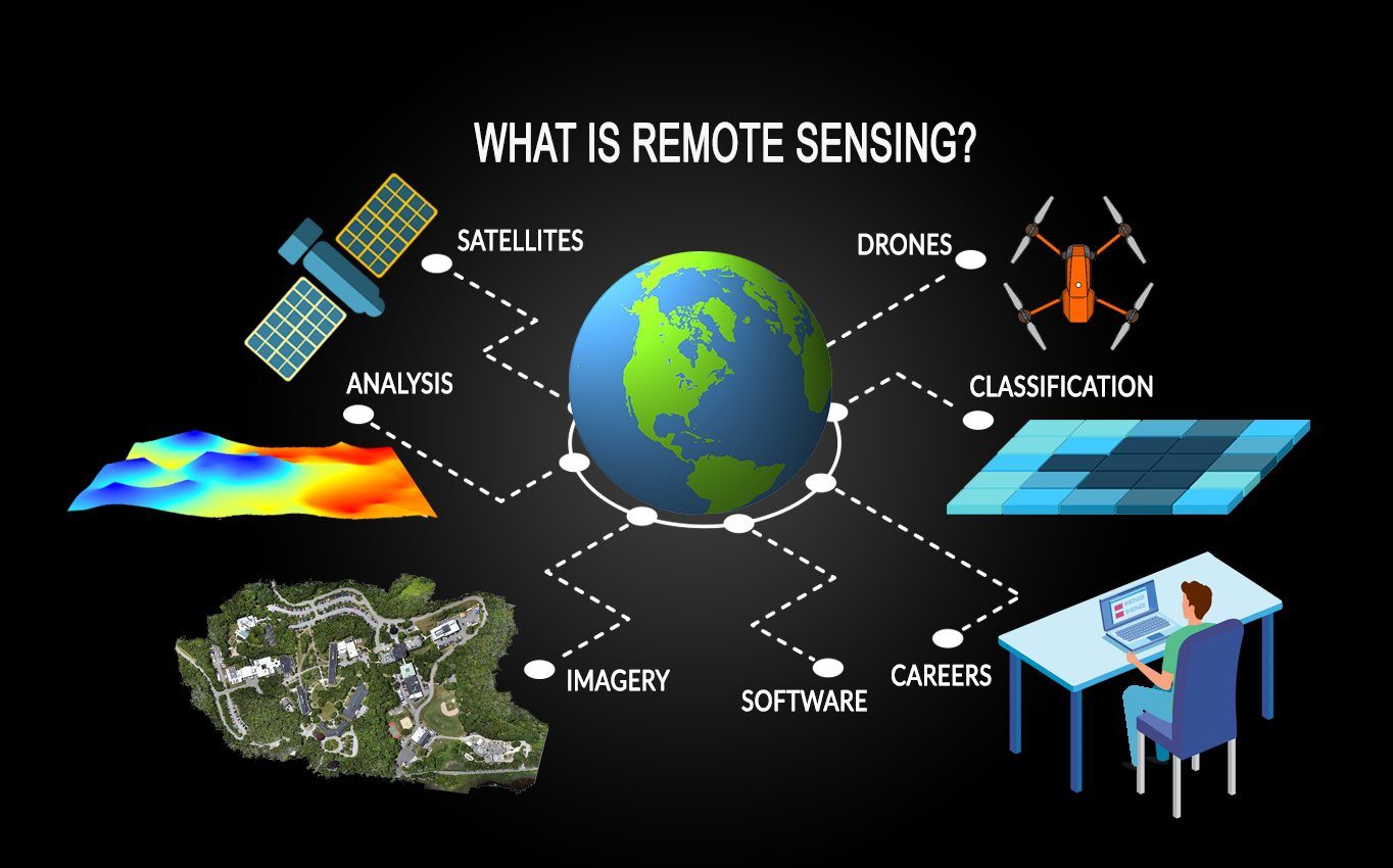
Remote sensing
37
MENTIONS
5
EPISODES
4
PODCASTS
Search complete. 37 mentions across 5 episodes found for "Remote sensing".
Oct 12, 2026

Brad ShellitoHOST
Welcome to Spatial Signals.
Brad ShellitoHOST
It's a podcast about remote sensing and geographic information systems, but more importantly, the people behind them.
Brad ShellitoHOST
I'm your co-host, Dr. Brad Chelito, and with me today is your other co-host, coming to us from his pirate radio station where he is ghost hunting at Benson Grist Mill in Tooele County, Mr. Chris McGinty.
Brad ShellitoHOST
Chris, how is the great state of spooky Utah treating you today?
6 MINS LATER
Tracy ShaneGUEST
Thanks so much, Brad and Chris.
Tracy ShaneGUEST
I'm so excited to be here and just have this conversation with you.
Tracy ShaneGUEST
I love talking about GIS and remote sensing.
Brad ShellitoHOST
Sounds good.

Tim ReevesHOST
I'm your host, Tim Reeves.
Tim ReevesHOST
On this episode, we are joined by Adam Lewenter, a research physical scientist with ERDC's Cold Regions Research and Engineering Laboratory, or CREL, to discuss why this monitoring is so critical and plans to deploy an automatic remote sensing technology to keep a constant watch over the basin.
Tim ReevesHOST
Adam, welcome.
Adam LewenterGUEST
Thanks, Tim.
14 MINS LATER
Adam LewenterGUEST
That's going to remain in the basin.
Adam LewenterGUEST
So as the amount of ice that's suspended or buoyant in the lake starts to decrease because it's melting, the holding capacity or the amount of water that is available for those flood events increases, even if the constraints of the basin are changing,
Tim ReevesHOST
right? So you are part, you're part of the team at what's called the Remote Sensing and GIS Center of Expertise based at Corral.
Tim ReevesHOST
What is the role of this center and what unique capabilities does the team bring to a monitoring challenge such as this one?

Jennifer BartmessHOST
Computer vision is reshaping the way we understand the environment around us.
Jennifer BartmessHOST
Konrad Schindler, professor of photogrammetry and remote sensing at the Department of Civil, Environmental, and Geomatic Engineering at ETH Zurich joins Ana Bendi-Clarujo and Deepika Raghu at the Chair of Circular Engineering for Architecture to discuss how remote sensing and photogrammetry are transforming the way we map, analyze, and interpret the world around us.
Jennifer BartmessHOST
From the blurred boundaries between photogrammetry and computer vision to the realities of working with imperfect data, he reflects on both the possibilities and limitations of data-driven approaches.
Jennifer BartmessHOST
He also differentiates between research and practical applications and addresses the challenges of putting the growing amount of digital image data to good use.
Konrad SchindlerGUEST
My name's Konrad Schindler.
Konrad SchindlerGUEST
I'm a professor at the Department of Civil, Environmental, and Geomatic Engineering.
Konrad SchindlerGUEST
I specialize in remote sensing and photogrammetry, so I am in some sense the resident computer vision expert for the civil and environmental engineers.
Ana Bendi-ClarujoHOST
You have been a professor since 2010 at the Chair of Remote Sensing and Photogrammetry, but your background is pure computer science and geospatial engineering, right?
Brad ShellitoHOST
[rock music] Welcome to Spatial Signals.
Brad ShellitoHOST
It's a podcast about remote sensing and geographic information systems, but more importantly, the people behind them.
Brad ShellitoHOST
I'm your co-host, Dr. Brad Shellito, and with me today is your other co-host, coming to us from his pirate radio station where he's looking for tropical fish at the former location of the Bonneville Seabase in Grantsville, Mr. Chris McGinty.
Brad ShellitoHOST
Chris, how is Utah treating you on this fall day?
Chris McGintyHOST
And it's a really neat, you know, example of how, you know, we're all- always still finding features on the surface of the Earth using this remotely sensed data, you know, uh, to, you know, reveal hidden geology and, and guide, you know, on-the-ground science and, and just all these really cool examples.
Chris McGintyHOST
So we'll, uh, we'll provide the links, Brad.
Chris McGintyHOST
And, uh, just a kind of a, a neat story and, you know, it's even one that you can take into the classroom and kind of show students, you know, this is, this is the power of remote sensing.
Chris McGintyHOST
So there you go.

speaker_1NARRATOR
Nature is perfectly capable of drawing straight lines and sharp boundaries when rivers, waves, and changing sea levels go to work over thousands of years.
speaker_1NARRATOR
All of these techniques fall under the umbrella of marine remote sensing.
speaker_1NARRATOR
Remote is the key word.
speaker_1NARRATOR
Nobody is walking around down there laying out tape measures.
speaker_1NARRATOR
You're inferring shapes and patterns at a distance from sound waves and processing algorithms.
speaker_1NARRATOR
It's an incredibly powerful way to scan huge areas quickly, but it's not the same as diving down and seeing a cut stone block with tool marks in it, which is why in serious marine archeology, remote sensing is the starting point, not the finish line.
speaker_1NARRATOR
You use sonar, bathymetry, and seismic tools to find anomalies, places where the sea floor looks weird, different, interesting.
speaker_1NARRATOR
Maybe something that looks too straight, too regular, too grid-like to ignore.