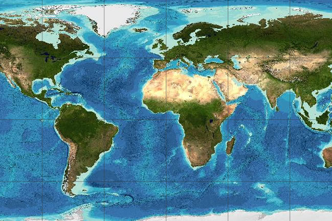
General Bathymetric Chart of the Oceans
2
MENTIONS
2
EPISODES
2
PODCASTS
Search complete. 2 mentions across 2 episodes found for "General Bathymetric Chart of the Oceans".
Oct 25, 2026

speaker_2NARRATOR
And yet the ocean floor, which is right here beneath the water, on the planet where we actually live, has been mapped at a lower resolution than the surface of Venus.
speaker_2NARRATOR
The Seabed 2030 project, a collaborative initiative led by the Nippon Foundation and the General Bathymetric Chart of the Oceans, aims to produce a complete high-resolution map of the entire ocean floor by the year 2030.
speaker_2NARRATOR
When the project began in 2017, less than 6% of the sea floor had been mapped at modern standards.
speaker_2NARRATOR
By 2023, that figure had risen to just over 24%, Three quarters of the ocean floor remains unmapped in any meaningful detail, and the deadline is approaching rapidly, and the ocean is not getting smaller.

speaker_1UNKNOWN
Source: Google Earth.
speaker_1UNKNOWN
Data from Airbus, SIO, NOAA, US Navy, NGA, GEBCO.
Type III AudioNARRATOR
However, the front-runner might still struggle to seal off space to newcomers entirely.
Type III AudioNARRATOR
While an incumbent observing from above Earth's gravity well would have a strong information and infrastructure advantage, this might not translate into an ability to block rivals from getting into space.