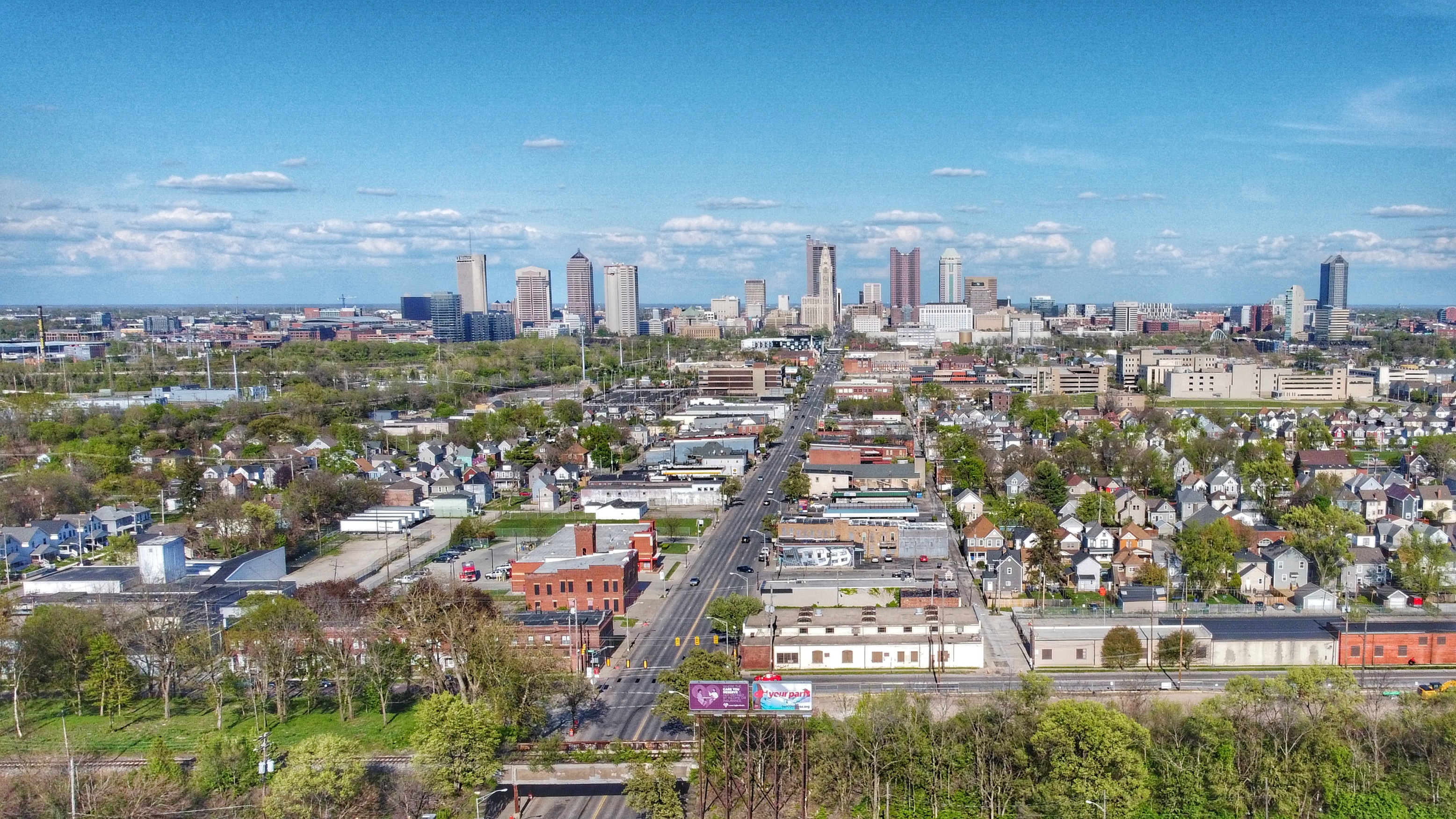
Franklinton
Neighborhood in Columbus, OhioWikipedia
9
MENTIONS
3
EPISODES
3
PODCASTS
Search complete. 9 mentions across 3 episodes found for "Franklinton".
Sep 10, 2026

DianeHOST
The city is nearly smack dab in the center of the state, so it made sense to make this the center of the state government.
DianeHOST
It was planned in 1812 and named for, of course, Christopher Columbus, and quickly absorbed the nearby settlement of Franklinton that had been founded in 1797.
DianeHOST
When a branch of the Ohio and Erie Canal opened in 1831, the city grew, and this growth skyrocketed with the arrival of the railroad in 1850.
DianeHOST
Columbus would become one of the country's major manufacturers of horse-drawn vehicles, and the story of Columbus would continue to be one of transportation and industrial growth.

Sam OchesHOST
Mm-hmm.
Anthony SitekGUEST
Franklinton area of Columbus, it's kind of like kind of on our own in a way.
Haley SitekGUEST
Mm-hmm.
Anthony SitekGUEST
In a, in a good, in a good way.
6 MINS LATER
Haley SitekGUEST
So coming back and like, my friend's like, "Let's go downtown.
Haley SitekGUEST
Let's go to Vine." And I'm like, "What, what do you mean let's go to Vine Street? What are you talking about?" But we, we really got to see it kind of from a bird, bird's-eye view from being Fl- being in Florida and coming home and visiting, and like how cool would it be to be able to get on the forefront of this as well.
Haley SitekGUEST
Kind of like I said with us opening in Franklinton to, you know, plant our roots here.
Haley SitekGUEST
And obviously the support of family is huge.

Michael WilkosHOST
So when we think of the redlining maps of the 1930s, and we juxtapose those maps of inequality in the 1930s to say the foreclosure crisis that happened in 2006, people might be surprised to find that those two maps, while separated by about 75 years, look very, very similar.
Michael WilkosHOST
Where Franklinton, the Hilltop, south of Children's Hospital, Linden and Milo Grogan, were the epicenter of the foreclosure crisis in 2006.
Michael WilkosHOST
They were also the same neighborhoods that were deemed hazardous 75 years earlier in the redlining maps.
Michael WilkosHOST
A study done by the Ohio State University in the 2010s also looked at where are high-cost predatory loans being issued in Columbus neighborhoods today, and what they found was a very clear pattern.
Michael WilkosHOST
yet again, it was Linden, the Near East Side, South of Children's Hospital, Franklinton, the same neighborhoods that were getting predatory private sector loans, the buy here, pay here, or the zero down payments.
Michael WilkosHOST
Those were happening in the same neighborhoods that we were redlined.
Michael WilkosHOST
So United Way of Central Ohio, where we are very concerned about about people who are struggling to take advantage of the prosperity of Central Ohio, we looked at a series of maps, all of which were looking at different social determinants of health to see, is there a correlation between the maps of the 1930s and the social conditions of the 2020s? And what we saw was this.
Michael WilkosHOST
Collective food pantry use.